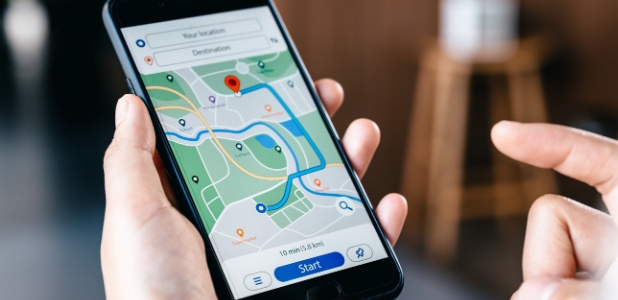
Avenza Maps: Offline Mapping is an outstanding travel navigation service utility tool that helps users easily arrange itineraries, estimate journey time, and reasonably arrange travel activities, allowing you to travel safely and worry-free. The application presents a navigation application platform with powerful functions and stylish interface design to the majority of user groups. Users can try convenient offline map and GPS positioning and other functions, and supports user-defined import of maps and addition of fields, pictures and other remark information. It should have a wealth of map tools to provide you with professional map support. Whether it is outdoor work or daily travel, it can become your effective assistant.
Offline GPS and tracking
View your live GPS location without an internet connection
Record GPS tracks for hiking, biking and outdoor activities
Navigate using compass and coordinate tools
Measure distance, area and estimated travel time
Map source and format
In addition to core navigation features, Avenza Maps offers a wide range of trail, topographic, land use, nautical and survey maps from publishers including National Geographic, National Park Service, U.S. Forest Service, U.S. Geological Survey, NOAA, FAA, and BLM. Avenza Maps APK supports importing PDF maps, GeoPDF, and GeoTIFF files, and you can also import or export KML, GPX, and CSV files to transfer data between devices and projects.
Field data and tags
To make it easier to view location information, you can add landmarks, photos, and notes to any location so you can easily review the details later. You can use what3words to pinpoint the location. If you need to receive location alerts on the map, you can use the Plus plan to create geofences so you'll be notified when you enter or leave an area.
Advanced and professional use
Avenza Maps Pro adds GPS average calculation, more coordinate formats, shapefile import and export capabilities, and support for external high-precision GPS devices such as Trimble, Bad Elf, and Dual. It also supports unlimited geofencing and global notifications. Avenza Maps Pro is essential software for business, academic, government, and professional use.

No internet connection is required to view your live GPS location.
Record GPS tracks for hiking, biking and outdoor activities
Navigate using compass and coordinate tools
Measure distance, area and estimated travel time
Add placemarks, images and notes to any location
Accurately identify locations using what3words

The main feature of Avenza Maps is its extensive map library. The map library contains topographic maps, trail maps, city maps, national park maps, and more. You can download the maps you need to your smartphone and use them offline to navigate with confidence even in the most remote areas. The maps are geo-referenced, meaning you can see your exact location on the map in real time.
Additionally, Avenza Maps allows you to track routes, mark points of interest, and record GPS location information. This is especially useful for hikers and outdoor enthusiasts who want to record and share their adventures. You can add photos and notes to each point of interest, turning the app into a digital travel diary.
Avenza Maps' ease of use is another big plus. Its intuitive interface allows users to easily browse and download maps, plan routes, and record trips. Even though it's packed with advanced features, it's easy to use for both experienced outdoor adventurers and complete novices. Simply put, Avenza Maps is a must-have tool for anyone who loves exploring the great outdoors and getting away from it all.

Pros
Extensive library of offline maps from trusted publishers
Live GPS location tracking without internet connection
Support custom map import
Intuitive interface and annotation tools
Reliable performance even in remote areas
Cons
Premium features require subscription
Some maps in the store are very expensive.
Learning curve for complex features

Whether you enjoy hiking, biking, camping, hunting, or fishing, this app turns your smartphone into a powerful GPS navigation system. It supports offline use, allowing you to explore remote areas without worrying about signal strength.
Size:118MB Version:5.5.2
Requirements:Android Votes:84
Package Name:com.Avenza Signature:50a2e1072a65a0be3645746fb1ecb635e5adcaa6

When you are traveling or experiencing a new place or activity, no one wants to stare at their phone or tablet the whole time. However, you want the memories of your trips and travel to last forever, and you want to share those memories with friends and loved ones back home. The best travel logs combine both worlds with stunning features and interfaces to document your memories, photos and videos of the places that you visit and simple, easy-to-use design. These some trip logging apps let you easily capture the memories, so you can get back to enjoying it in the moment.
Nowadays, with the popularity of smartphones, navigation software has become an essential tool for people's travel. Among numerous Android mobile navigation software, some are highly regarded for providing users with convenient navigation services. These software not only have accurate positioning functions, but also can update road condition information in real time, providing users with the best driving route. At the same time, they also offer multiple travel options such as walking, public transportation, self driving, etc., and can intelligently plan routes based on user needs. In addition, these navigation software also have voice navigation function, making it convenient for users to obtain navigation guidance at any time while driving. In short, Android mobile navigation software can provide users with comprehensive route planning services, making travel more convenient and safe.
Accurate navigation software can not only help users quickly find their destination, but also assist customers in obtaining real-time traffic information and avoiding congested roads. So which navigation software is the most accurate? In order to help netizens better choose the most accurate navigation software, the editor has compiled a ranking list of navigation apps. Through these navigation apps, users can easily access practical information such as gas stations, restaurants, and parking around their destination, making it easier to plan their daily travel plans. At the same time, these navigation apps also provide accurate route planning and navigation services, allowing users to rely on them with confidence to complete accurate navigation.
About us | Contact us | Privacy policy| DMCA
Copyright © 2026 Xiaohei All rights reserved.