Introducing a highly versatile navigation and mapping software designed specifically for users navigating the Baltic region, including Latvia, Lithuania, and Estonia. This app offers a host of powerful features, making it the ideal tool for both daily driving and outdoor exploration. From turn-by-turn voice-guided navigation for both cars and pedestrians to offline map usage and detailed cadastral information, this app combines convenience with advanced functionality.
use full turn-by-turn navigation with voice for cars and pedestrians, including up 50 waypoints;
search for Latvian, Lithuanian and Estonian addresses and places, localities, counties, parishes, rivers, lakes etc.;
download and use offline vector map;
see cadastre information and search cadastral parcel and buildings in Latvia;
live traffic information in Riga and Pieriga (updated every five minutes);
bookmarking favourite places;
see points of interest, speed cameras on the map;
see Baltic-wide long distance hiking trails - the Forest Trail, the Baltic Coastal Hiking Route and the Latgale Lake Trail;
import GeoJSON, GPX or KML files and view them on the map.
Explore More with the Paid Version: Unlock a wider range of features with the subscription option of Baltic Maps. Subscribers benefit from full turn-by-turn navigation with voice instructions for drivers and pedestrians, even offline. This feature is particularly useful for those traveling across multiple waypoints. The subscription also enhances map searches by providing detailed searches for local addresses, places of interest, and geographical features. For Latvia, there's the added ability to view cadastral information and search cadastral parcels or buildings.
Enhance Your Travel Experience: The Baltic Maps offers real-time updates like live traffic conditions in Riga and Pieriga, refreshed every five minutes, to help with smoother travel planning. These updates can help you avoid delays and ensure timely arrivals. You can also import GeoJSON, GPX, or KML files for a more personalized mapping experience. Highlighting points of interest as well as speed cameras, Baltic Maps ensures you have a comprehensive travel guide right in your pocket.
All-in-One Navigation Solution: With turn-by-turn directions, offline maps, and detailed local information, this app serves as a one-stop solution for navigation, planning, and exploration in the Baltic region.
Detailed Mapping and Geographic Data: The inclusion of cadastral information and real-time traffic updates ensures that the app is not only useful for navigation but also for gaining insight into property and local conditions.
This navigation and mapping app is an indispensable tool for anyone traveling or exploring the Baltic region. Whether you’re driving through the streets of Riga, hiking along the Baltic coastline, or searching for specific property information in Latvia, this app has you covered. Its combination of voice-guided navigation, offline maps, live traffic updates, and specialized geographic features makes it a versatile, reliable, and user-friendly option for a wide range of users. With this app, navigating the Baltic countries has never been easier or more efficient.
When you are traveling or experiencing a new place or activity, no one wants to stare at their phone or tablet the whole time. However, you want the memories of your trips and travel to last forever, and you want to share those memories with friends and loved ones back home. The best travel logs combine both worlds with stunning features and interfaces to document your memories, photos and videos of the places that you visit and simple, easy-to-use design. These some trip logging apps let you easily capture the memories, so you can get back to enjoying it in the moment.
The relentless flow of time remains beyond our complete command, an ever-shifting rhythm we can never fully master. Yet within our limited sphere of influence, we may still strive to govern our own small domain - and in doing so, perhaps we achieve a kind of mastery after all. For while the vast world extends far beyond our reach, the miniature universe we hold in our hands contains infinite possibilities of its own. True control may not mean dominating the entirety of existence, but rather perfectly curating the world we can touch and shape. The cosmos stretches endlessly outward, but within our grasp lies a personal cosmos waiting to be molded.
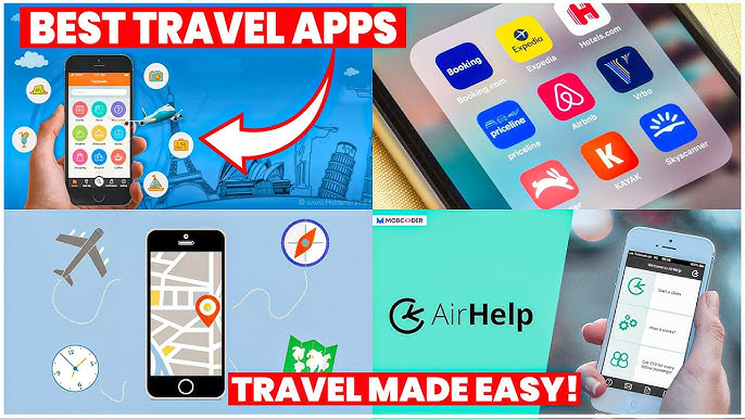
These must-have travel apps bring global adventures to your phone, making trip planning effortless and budget-friendly. Compare flights and hotels in seconds, access offline maps and expert city guides, or master key phrases in foreign languages. Read authentic tips from locals to uncover hidden gems before you arrive. Whether you're dreaming up future journeys or navigating current travels, these tools transform wanderlust into reality. With exclusive free premium features, your digital passport to discovery is ready - download now and let your next unforgettable journey begin!
About us | Contact us | Privacy policy| DMCA
Copyright © 2025 Xiaohei All rights reserved.

 American Airlines APK
142.3 MB
Nav
 trivago apk
50 MB
Nav
 Fake GPS
7.4 MB
Nav
 Radarbot
171.9 MB
Nav
 GPS Emulator
18.29 MB
Nav
 itTaxi
23.71 MB
Nav

 RYDE
141.14 MB
Nav
 World Atlas MxGeo Pro APK
87.1 MB
Nav
 Moovit: Transit & Bus Tracker
109 MB
Nav
 Navionics® Boating
248.9 MB
Nav
 PackPoint v3.17.3
9.5 MB
Nav

 Waze
141 MB
Nav
 Must-Have Beauty Camera Tools Collection
Updated:2025-07-29
 A Complete Guide to Cryptocurrency Trading Platforms
Updated:2025-07-29
 Light Novel
Updated:2025-04-24
 Movie
Updated:2025-04-24