NAVIGON Europe is a user-friendly map navigation software that not only includes built-in map data for various European countries but also allows users to match their vehicles. Users simply input their destination, and the software generates different routes based on nearby traffic conditions. During navigation, the software provides voice prompts, real-time traffic information, and camera data to help users avoid congestion and reach their destination more efficiently. Users can download maps of their city to the software, enabling navigation regardless of whether there is an internet connection.
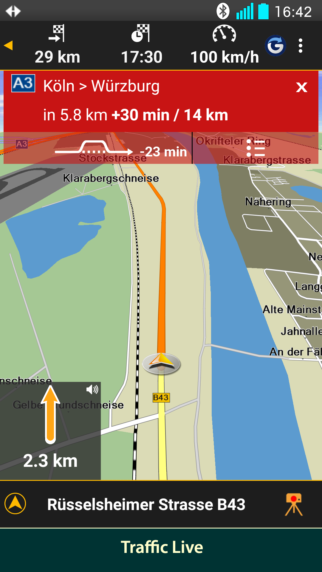
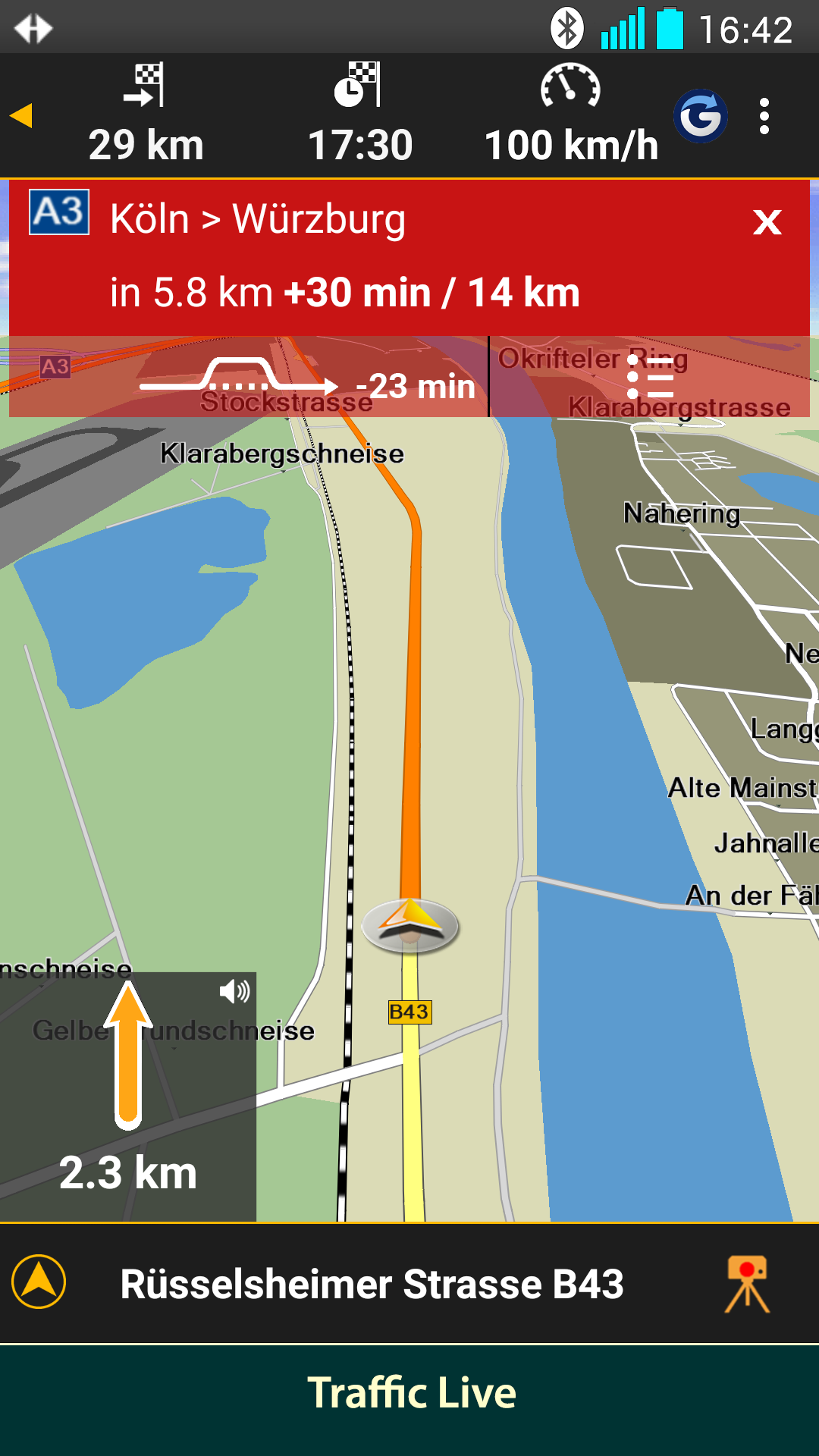
Traffic Live
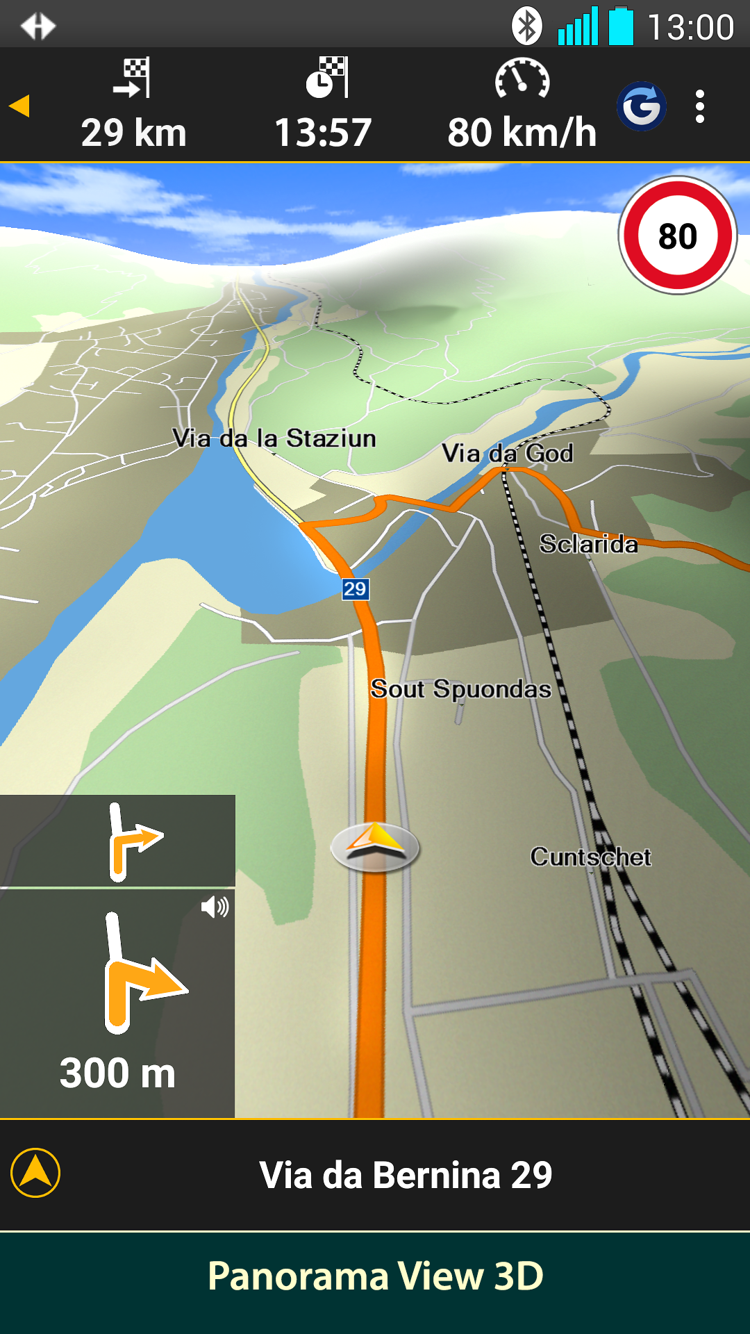
Reality View Light (realistic display of motorway exits)
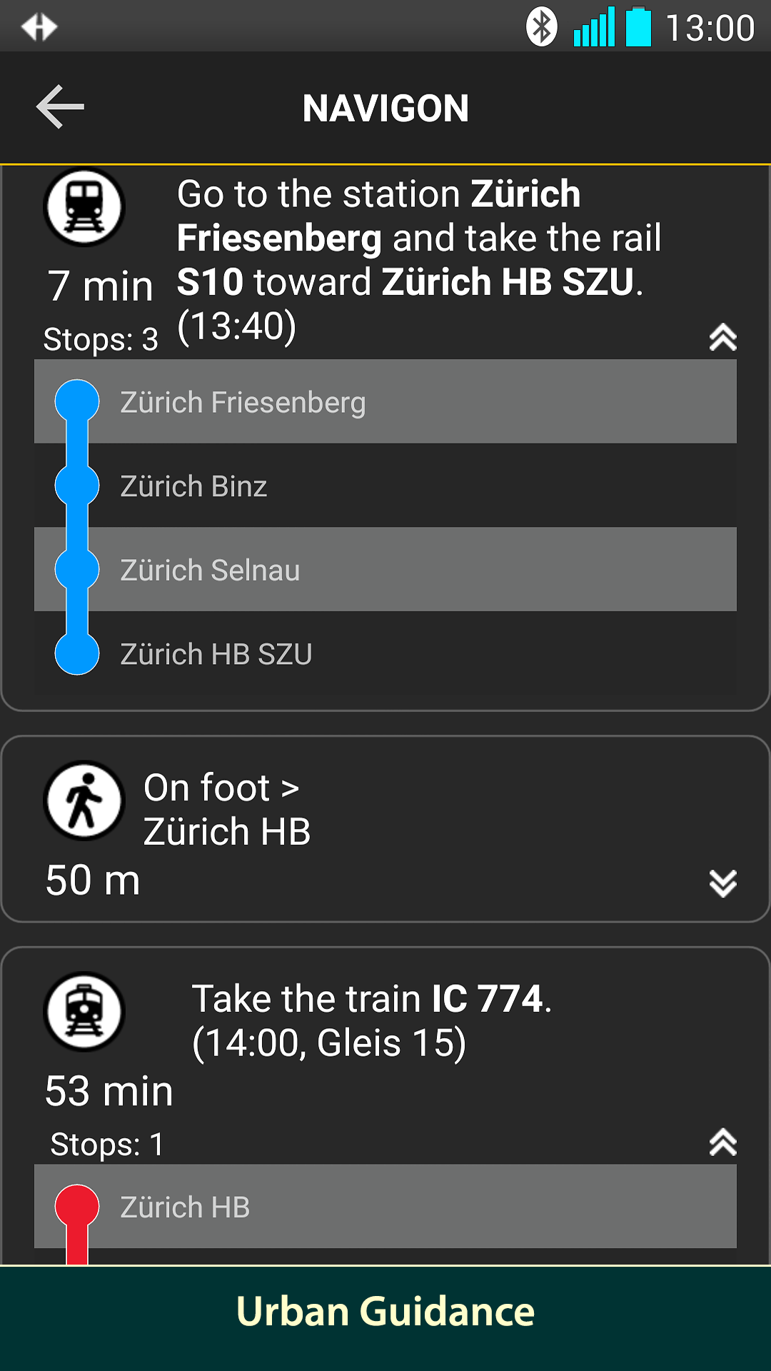
Enhanced pedestrian Navigation
Google Local Search
POI search
Precise voice announcements
Intelligent address entry
Take me home function with a single click
Save favorites
Automatic Day/Night adjustment
Can be used in portrait and landscape format
I have long been a fan of Navigon navigation devices (though the company no longer exists, having been acquired by Garmin). By chance, I discovered an offer in the Amazon Underground shop to download and install the Navigon Europe app for free. So, I did just that. I don't really need navigation software on my phone, as I usually rely on the Navigon 42 Premium unit I’ve owned for some time. I rarely consider smartphone-based navigation apps because they often lack the premium features of a dedicated GPS device. But then came the Navigon app. First off: I’m using a Samsung Galaxy J5 running Android 5.1.1 as the base for this app.
Installation takes a while because 900 MB of data has to be downloaded to the phone initially. Afterward, you can select the specific maps you want to install. If you choose the core countries (Germany, Austria, Switzerland, and a few others), that adds another 400 MB or so of data. So, you might as well have a cup of coffee while the installation runs; for me, it took about 40 minutes. I liked that the setup process immediately asked where the data should be stored—either in the phone's internal memory or directly on the SD card
Entering a destination is very simple. I actually find it more user-friendly than the interface on my 42 Premium. Enter the city, street, and house number, then select the route. Four straightforward screens, and you're done. Plus, while the 42 Premium can be stubbornly sluggish in its responses, this app is lightning-fast; the next screen appears instantly after you tap. The way POIs (Points of Interest) are entered is also handled better—or at least more logically. However, the search function for cheap gas stations isn't quite as well-designed. When paired with the J5 (which contributes 50% of the performance by handling GPS reception and processing), route calculation is very fast. For an initial 20 km route calculation, it takes less than a second; if you deviate from the suggested path, you might travel only about 50 meters on the wrong road before an alternative route appears.
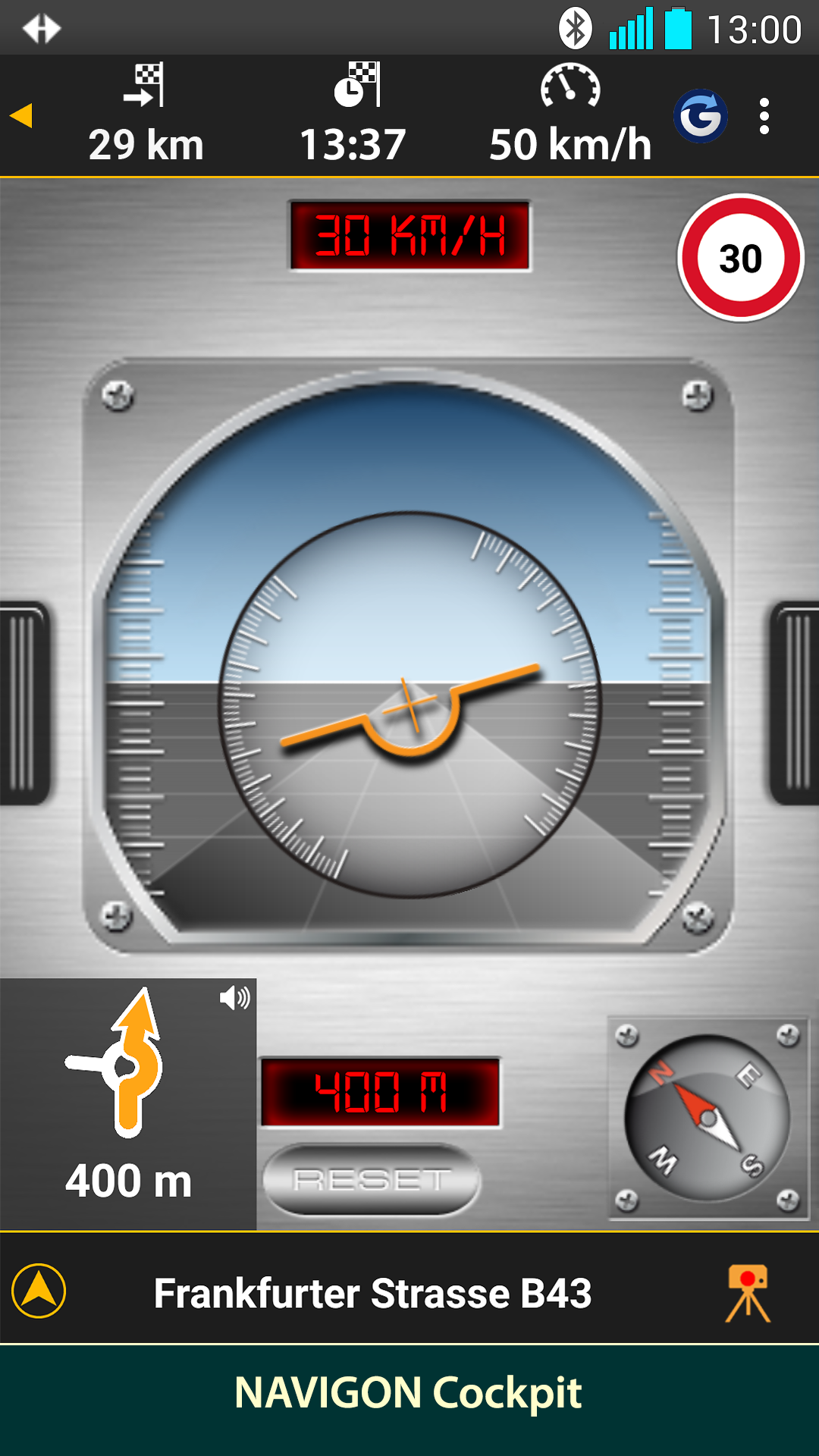
Subjectively, the "heading-up" map view is much more pleasant and easier to read than the landscape view. In landscape mode, everything feels a bit more cramped. The map resembles that of a Navigon device but has the simpler charm of an OpenStreetMap map; the design is a bit more basic and graphic-oriented. However, in hilly terrain, the graphics actually look just as stylish as those on my factory-installed navigation system. I found the dynamic lane guidance assistant took some getting used to at first. It often displays the layout as if you are supposed to turn right—for instance, at a junction where one road branches off to the left and another continues straight ahead. On the display, the left-hand road appears straight, while the road actually continuing straight ahead is depicted as a right turn; the lane guidance only corrects itself at the last moment. At the first exit, I thought the navigation system was acting up; at the second, I thought it might actually be right; and by the third, I realized it was accurate. All subsequent instances proved to be correct. I was particularly impressed by the traffic sign display. While my own navigation system—and indeed most others I know—only shows speed limits, this app displays other signs too; for example, on a federal road through a forest—the kind of place where those large, brown, antlered animals with huge eyes and no traffic awareness tend to dash across the road—it shows wildlife crossing signs. At first, I thought the navigation system actually accessed the phone's camera to scan traffic signs. That’s not the case, though. The top menu bar is very well designed—especially compared to the "42" model. While you need a magnifying glass for the "42," this one is instantly visible. I also find the voice guidance very pleasant; whereas most navigation systems just squawk "Turn right," the Navigon app says things like "Turn right towards the theater." That makes it a much better aid for orientation when you aren't familiar with the area.
Embark on a seamless navigation experience with NAVIGON Europe, crafted exclusively for Telekom customers in Germany. This top-notch app streamlines your journeys with its advanced route planning and intuitive user interface. Effortlessly discover your destination with features like real-time traffic updates, ensuring a smooth and efficient travel adventure.
Size:29.50MB Version:5.8.0
Requirements:Android 2.3.3+ Votes:406
Package Name:com.navigon.navigator_checkout_eu40 Signature:160c6f6cc2886b48440606bd1c69425b
When you are traveling or experiencing a new place or activity, no one wants to stare at their phone or tablet the whole time. However, you want the memories of your trips and travel to last forever, and you want to share those memories with friends and loved ones back home. The best travel logs combine both worlds with stunning features and interfaces to document your memories, photos and videos of the places that you visit and simple, easy-to-use design. These some trip logging apps let you easily capture the memories, so you can get back to enjoying it in the moment.
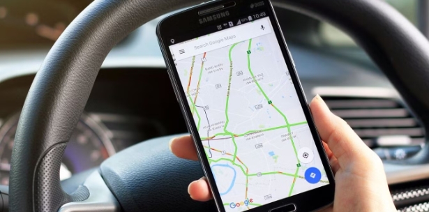
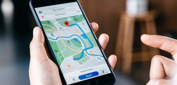
Nowadays, with the popularity of smartphones, navigation software has become an essential tool for people's travel. Among numerous Android mobile navigation software, some are highly regarded for providing users with convenient navigation services. These software not only have accurate positioning functions, but also can update road condition information in real time, providing users with the best driving route. At the same time, they also offer multiple travel options such as walking, public transportation, self driving, etc., and can intelligently plan routes based on user needs. In addition, these navigation software also have voice navigation function, making it convenient for users to obtain navigation guidance at any time while driving. In short, Android mobile navigation software can provide users with comprehensive route planning services, making travel more convenient and safe.
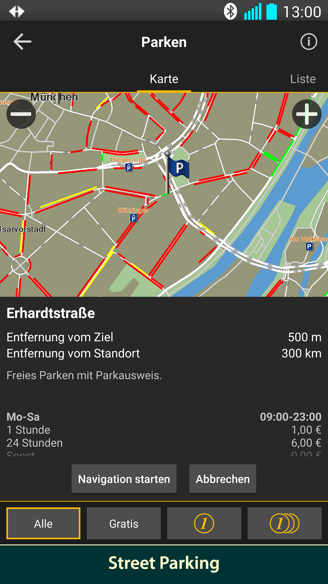
Accurate navigation software can not only help users quickly find their destination, but also assist customers in obtaining real-time traffic information and avoiding congested roads. So which navigation software is the most accurate? In order to help netizens better choose the most accurate navigation software, the editor has compiled a ranking list of navigation apps. Through these navigation apps, users can easily access practical information such as gas stations, restaurants, and parking around their destination, making it easier to plan their daily travel plans. At the same time, these navigation apps also provide accurate route planning and navigation services, allowing users to rely on them with confidence to complete accurate navigation.
About us | Contact us | Privacy policy| DMCA
Copyright © 2026 Xiaohei All rights reserved.